Uzbekistan's Expanding National Parks in 2026: Where to Hike Now That a Fifth of the Country Is Protected
· 10 min read · Nature
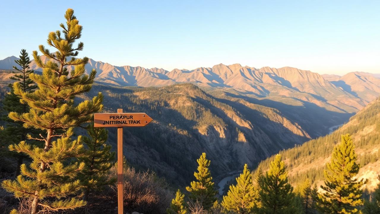
Uzbekistan has been quietly enlarging its protected areas for years, and 2026 is the first year the map looks serious. Most of it has no infrastructure — which is exactly why it is worth going now.
Uzbekistan is generally read as a country of monuments and desert. The protected-area map tells a different story: juniper forests, mountain steppe, saline plateau and wetland, spread across a network of national parks, state reserves and biosphere areas that has been expanding steadily. For hikers, 2026 is a good moment — the parks are real, the trails are unmarketed, and you will often have a valley to yourself.
The four you can realistically visit
Ugam-Chatkal, the accessible one
Ninety minutes from Tashkent, this is the country's most visited mountain park and the one you can do without planning. Chimgan, Beldersay, Charvak and the Pskem valley all sit within or beside it. Day hikes are straightforward, the lifts give you altitude for free, and there are guesthouses at the base. It is also the busiest — weekends in May and June are crowded near the road and empty two hours up.
Zaamin, the forested one
Uzbekistan's oldest reserve area, in the Jizzakh region towards the Tajik border, is high juniper forest at around 2,000 metres with air that Soviet planners built sanatoriums to exploit. It is cooler than anywhere else reachable from Tashkent in summer and needs a car. Trails are informal; a local guide turns a nice walk into a proper route.
Nuratau, the one with people in it
The Nuratau-Kyzylkum biosphere reserve is a mountain ridge with Tajik-speaking villages inside it and a working community homestay network. It is the best hiking in the country for a traveller who wants company: walk village to village, eat with families, and see the severtzov sheep if you are lucky. Between Samarkand and Aydarkul, it fits an itinerary neatly.
Southern Ustyurt, the extreme one
The Ustyurt plateau in Karakalpakstan is the country's wildest protected landscape — chalk cliffs, saiga antelope migration routes, and effectively no facilities. This is expedition territory: a 4x4, a driver who knows it, water for the whole trip and permits arranged in advance. Do not attempt it as a self-drive day out.
Permits, borders and paperwork
- Some park sections sit inside border zones near Tajikistan, Kyrgyzstan or Kazakhstan and need a permit arranged days in advance through an agency.
- Entry fees to parks are small and collected at road barriers; keep soum in cash.
- Strict reserve zones are legally closed to visitors — the fine is real and the ranger will know.
- Register your accommodation as normal; a homestay inside a reserve issues slips like any hotel.
Seasons
April and May are the peak for wildflowers and water in the streams. June to August is fine at altitude and dangerous in the desert reserves. September and October give stable weather and the clearest views of the year. Winter closes mountain passes and makes several access roads unreliable, particularly around Zaamin and the upper Pskem.
Hiking responsibly here
There is very little trail infrastructure, which means no bins, no marked routes in most places and no rescue service worth relying on. Carry everything out, tell someone your route, download offline maps, and treat livestock and herders' dogs with respect — shepherd dogs in the Nuratau are working animals and will approach. Fire risk in juniper forest is serious in late summer; do not improvise a campfire.
Why go now
Uzbekistan has committed to enlarging protected coverage significantly and is building the visitor infrastructure to match — signage, ecotrails, visitor centres. In five years these places will be easier and busier. In 2026 they are still the version where you turn a corner and there is nobody, which is the version worth travelling for.