The Water Fight Upstream: Amu Darya, the Qosh Tepa Canal and Uzbekistan's Next Crisis (2026)
· 10 min read · Nature
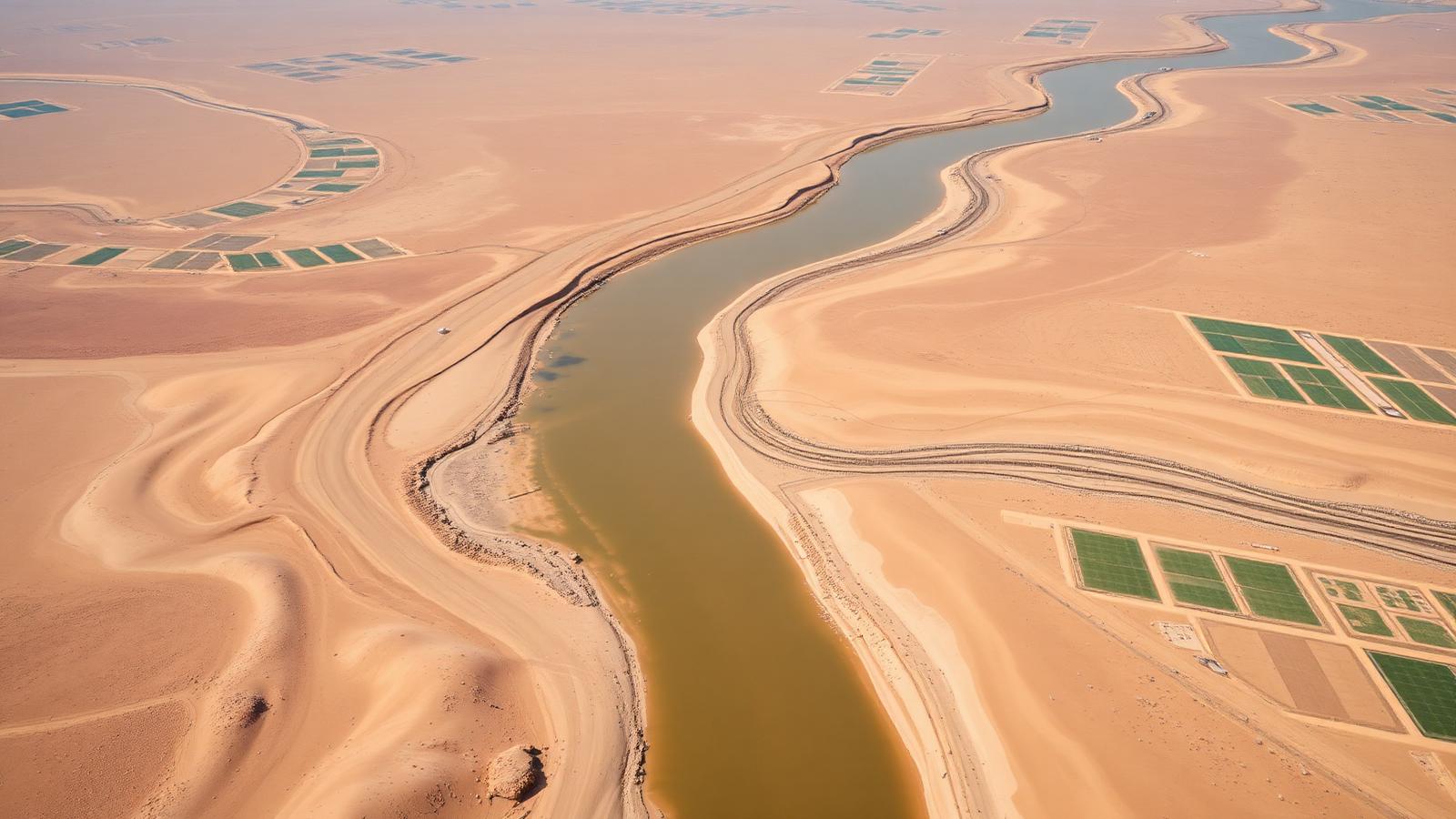
Uzbekistan already killed one sea with irrigation. Now a giant canal is being cut into the Amu Darya upstream, in a country nobody can negotiate with easily. This is the most consequential story in Central Asia — and it barely makes the travel pages.
Every conversation about Uzbekistan's future eventually reaches the same bottleneck: water. The country is double landlocked, mostly desert, and depends on two rivers that both rise outside its borders. One of them, the Amu Darya, is now being tapped upstream by a canal project in northern Afghanistan on a scale nobody in the region planned for. Here is what is happening, why it matters, and what a traveller actually notices.
The basics: two rivers, no rain
The Amu Darya and Syr Darya are fed by glaciers and snowmelt in Tajikistan, Kyrgyzstan and Afghanistan, then cross the desert into Uzbekistan and Turkmenistan. Most of Uzbekistan receives too little rainfall to farm without irrigation, so essentially the entire agricultural economy — cotton, wheat, fruit, rice — is river water diverted through Soviet-era canals.
The precedent: the Aral Sea
The Aral was the world's fourth-largest lake. Soviet planners diverted both rivers into cotton fields; the sea lost most of its water within a few decades and left behind the Aralkum, a salt desert now famous for the rusted ships at Moynaq. It is the standing proof that this region can, in fact, drain something enormous by accident.
The Qosh Tepa canal, explained plainly
Afghanistan has begun excavating a very large irrigation canal in its northern provinces to draw water from the Amu Darya into farmland in Balkh, Jowzjan and Faryab. Afghanistan historically used a small share of the river and was not part of the Soviet-era water-sharing arrangements that govern the rest of the basin. The canal is unlined across long desert stretches, which raises the risk of heavy seepage losses on top of the water actually diverted.
Why it changes the arithmetic
- The Amu Darya is already over-allocated in most years — every drop is spoken for before it reaches Khorezm and Karakalpakstan.
- Downstream regions in Uzbekistan sit at the very end of the system, so any upstream reduction lands on them first and hardest.
- There is no functioning treaty that includes Afghanistan, and limited leverage to enforce one.
- Climate change is shrinking the glaciers that feed the river, so the total pot is likely to fall even without new canals.
Central Asia's borders were drawn on nationality. Its real map is drawn on water.
What Uzbekistan is doing about it
- Cutting cotton area and pushing water-hungry crops toward higher-value fruit, vegetables and horticulture.
- Rolling out drip irrigation with subsidies and mandates, replacing flood irrigation on a growing share of land.
- Lining and modernising canals to reduce seepage, and metering water deliveries that used to be effectively free.
- Diplomacy: engaging Kabul directly on the canal rather than pretending it is not happening, and pushing regional water talks with Kazakhstan, Turkmenistan, Tajikistan and Kyrgyzstan.
- Energy trade-offs: upstream neighbours want to hold water for winter hydropower, downstream neighbours need it released for summer irrigation — the oldest argument in the region.
What a traveller actually sees
In Karakalpakstan and Khorezm
Dust, salt crusts on fields, shrunken canals in late summer, and towns like Moynaq that exist as monuments to a vanished shoreline. The Aral Sea tour from Nukus is, in effect, a water-policy tour.
In the cities
Summer water pressure drops in some districts, irrigation of parks is scheduled at night, and hotels in smaller towns occasionally have short outages. Nothing that ruins a trip — but you will notice water is treated as a serious resource, not background.
On the road
Between Bukhara and Khiva you cross hundreds of kilometres of the Kyzylkum where the only green is irrigated. That contrast — a green strip beside a canal with absolute desert on both sides — is the whole story in one window view.
How to travel responsibly here
- Reuse hotel towels and skip daily linen changes; in desert towns this is not a token gesture.
- Refill bottles where filtered water is offered rather than buying case after case of plastic.
- Choose yurt camps and guesthouses that are open about water trucking and waste — the good ones will tell you.
- Do not run taps while a host is heating water manually; in older houses hot water is a batch, not a supply.
Honest verdict
This is the story that will define Uzbekistan for the next twenty years far more than tourism numbers or new terminals. Understanding it turns a drive across the Kyzylkum from a boring transfer into the most informative four hours of the trip.